A linear complex of strong-to-severe thunderstorms is set to roll across Iowa tonight, with the Storm Prediction Center placing much of the state under an Enhanced (Level 3 of 5) risk for damaging winds, large hail, and tornadoes. The threat begins late this afternoon, Friday May 15, 2026, and continues through the overnight hours. The Weather Prediction Center is separately flagging a 50 percent chance of rainfall exceeding 2 inches across much of Iowa.
Peak Driving Danger Window
Late evening into the predawn hours, roughly 9 PM to 3 AM CDT, looks like the worst window for I-80 east-west traffic, with the linear complex aligning along a nearly stationary front and the rear-inflow jet driving the highest damaging-wind potential.
What to Expect
- Active window: Late this afternoon through early Saturday morning across Iowa
- Categorical risk: SPC Enhanced (Level 3 of 5) across much of Iowa, with Slight risk extending south to the Oklahoma and Texas Panhandles
- Headline threats: Damaging straight-line winds, large hail, and a tornado threat along the warm side of the front
- Rainfall: 50 percent chance of more than 2 inches across much of Iowa, with isolated flash flood risk in northern Iowa per HRRR neighborhood probabilities
Getty Images
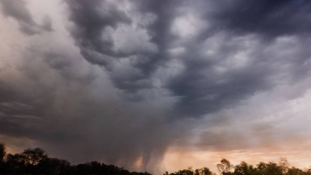
The setup is a nearly stationary front draped across the midsection of the country, with the warm sector ahead of it loaded with Gulf moisture. As the line organizes after sunset, expect a fast-moving QLCS (quasi-linear convective system) sweeping west to east across I-80.
Road Conditions
I-80 traverses the entire state, so the exposure list is wide. Council Bluffs, Des Moines, Iowa City, and Davenport will all see the line cross overnight, with I-35 through the Des Moines metro and I-380 between Cedar Rapids and Iowa City also in the path. Hydroplaning is the primary risk during the heaviest bands, and isolated urban flash flooding is possible in northern Iowa. Check 511ia.org for live conditions.
Severe Storm Driving Tips
A QLCS with embedded supercells is a tire-and-visibility problem. Confirm tread depth at or above 4/32 inch and inflate to door-jamb spec; underinflated tires hydroplane at lower speeds. Slow well below the posted limit during the heaviest cells, double your following distance, and turn on headlights any time wipers are running (Iowa law). If a tornado warning fires while you are driving, leave the vehicle for a sturdy structure or low ground, not an overpass. For more, see Autoblog’s hail damage and severe storm vehicle prep and hydroplaning prevention guides, plus the NWS severe weather safety page.
Timing
The Iowa Enhanced risk runs through tonight into Saturday morning. SPC has the next round flagged for Saturday night into Sunday morning across the northern Plains, and WPC’s medium-range outlook calls for “multiple rounds of heavy rain and severe storms” across the Plains through next week, anchored by the same stationary front pattern. NWS Des Moines and NWS Quad Cities both have severe weather banners up through early next week. We’ll update this article as conditions evolve.