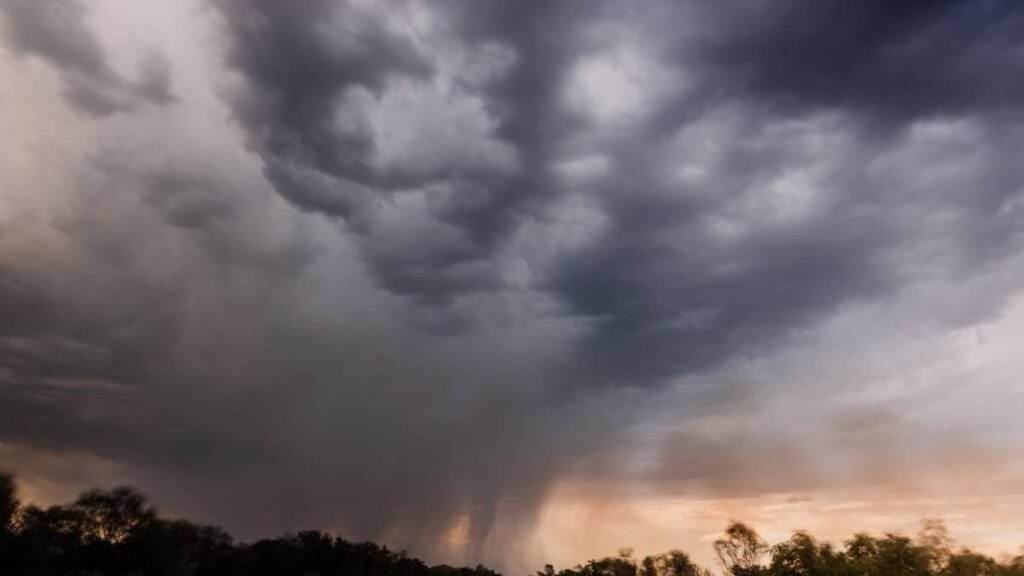
A multi-day severe weather episode is targeting a five-state stretch of the Northern Plains today, Tuesday June 2, 2026, with the Weather Prediction Center holding a Slight Risk (Level 2/5) for both Tuesday and Wednesday across Montana, Wyoming, the Dakotas, and western Minnesota. The setup carries credible 90 mph wind potential and 2-inch hail.
Peak Driving Danger Window
The most dangerous window runs from roughly 5 PM MDT Tuesday through 2 AM CDT Wednesday, as initial high-terrain supercells in eastern Montana and Wyoming cluster into an organized complex racing east along I-94 and I-90 with widespread 70 to 90 mph straight-line gusts.
What to Expect
- Hail: Discrete supercells capable of 2-inch or larger stones early in the cycle
- Wind gusts: Localized 90 mph straight-line gusts once the line organizes overnight
- Tornado risk: Localized but credible Wednesday afternoon near a secondary surface low along the ND/SD border
- Worst corridors: I-90 through Rapid City and Wall, I-94 from Miles City through Bismarck and Jamestown, I-25 in eastern Wyoming, and I-29 north of Sioux Falls
- Flash flooding: WPC Slight Risk (Level 2/4) for North Dakota today
Daytime heating into mid-60s dewpoints is pushing CAPE between 1,500 and 2,500 J/kg, while veering mid-level winds at 40 to 46 mph and effective shear values of 45 to 50 knots keep updrafts tilted enough to sustain rotating supercells. A cold front and trailing surface boundaries are providing the lift.
Road Conditions
Open-prairie sections of I-94 between Glendive and Mandan and I-90 between Wall and Chamberlain offer almost no shelter once a line gets organized. Empty box trailers, tall SUVs, and travel trailers approach a lateral stability threshold around 60 mph crosswinds, and the forecast gust ceiling is well past that. North Dakota drivers can check NDDOT Travel Info and South Dakota drivers should monitor SafeTravel USA before evening departures.
Hail Damage Risk to Vehicles
Two-inch (hen-egg) hail dents aluminum hoods, steel doors, and composite fenders, and can crack laminated windshields on direct impact. Autoblog’s breakdown of golf ball hail damage and insurance realities is worth reviewing before parking decisions tonight. If caught driving, an open shoulder facing the windshield away from the prevailing wind beats sheltering under an overpass, which only creates rear-end collision exposure for traffic behind you.
Severe Storm Driving Tips
Triple your dry-pavement stopping distance on wet roadway, and watch tread depth: 4/32 of an inch is the practical wet-grip threshold. Pull off at exits rather than shoulders, since reduced rear visibility plus chase traffic makes shoulder stops dangerous. Never drive into standing water, since a foot of moving water can float most vehicles per NWS flood safety guidance. For deeper background, see Autoblog’s wet-weather and hydroplaning playbook and our flood-damaged vehicle inspection guide if standing water makes it onto your route.
Timing
Tuesday’s initial cells fire by mid-to-late afternoon over eastern Montana and Wyoming and cluster overnight into western North and South Dakota. Wednesday’s threat zone shifts east into central and eastern ND, SD, and western Minnesota, with the secondary low along the ND/SD border raising a localized tornado risk late afternoon. We’ll update this article as conditions evolve.