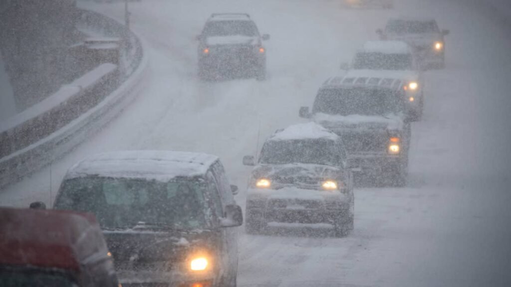
Gusts up to 65 mph arrive Monday, followed by heavy snow through Wednesday night. The National Weather Service puts possible totals at 18 to 30 inches above 2,500 feet, with more above pass level. The wind turns north on Tuesday as the snow builds.
Where The Snow And Wind Hit
The heaviest snow is possible on the Richardson Highway from Mile Post 202 to 259 through Trims Camp, Donnelly Dome and Black Rapids, under a winter storm watch from NWS Fairbanks running from 11 a.m. ET Monday to 8 a.m. ET Thursday. Forecasters now expect 12 to 18 inches below 2,500 feet and 18 to 30 inches above it, with gusts to 40 mph, and warn that travel could become very difficult to impossible. A wind advisory from NWS Fairbanks covers the Richardson from Mile Post 224 to 259 from 4 a.m. ET Monday to 2 a.m. ET Tuesday, with south winds of 30 to 40 mph gusting to 65 mph and light snow that could already lift into blowing snow.
[MAP: NWS Alaska statewide watches, warnings and advisories] Caption: Wind, winter storm and winter weather alerts cover the Alaska Range, the Northern Copper Valley and much of the Interior from Monday to Thursday. (Credit: NOAA / National Weather Service)
South of the watch, NWS Anchorage has a winter weather advisory for Paxson, Isabel Pass and the eastern Denali Highway, with 4 to 8 inches from 8 a.m. ET Monday to 8 p.m. ET Tuesday.
NWS Fairbanks widened the watch on Sunday morning. It now reaches the Parks Highway through Cantwell, Healy and Denali National Park, with 8 to 12 inches possible from Monday evening through Wednesday, more above pass level, and gusts to 40 mph. Fairbanks, North Pole and Nenana are also included, with 4 to 8 inches from Tuesday through Wednesday afternoon. Light snow that may mix with rain comes first on Monday, and the office warns the heavier round could affect the Tuesday evening and Wednesday morning commutes.
Farther east, 6 to 12 inches is possible around Delta Junction and Tok, with locally 12 to 18 inches between Tanacross and Dot Lake. The summits on the Steese and Elliott highways and the southern end of the Dalton could see 5 to 10 inches, and northwest gusts to 35 mph are strong enough to keep fresh snow moving across the road. Like any watch, this one can still change in area, timing or totals if forecasters upgrade it.
Related: The Best AWD SUVs for Snow, Trails and Everyday Driving
Driving In Wind And Blowing Snow
Monday’s gusts are the first concern, especially for drivers in tall vehicles or towing trailers.
- Postpone travel through the affected areas if you can. The wind advisory and winter weather alerts cover different roads and periods between Monday and Thursday morning, so check which one applies to your route.
- Treat Monday as a high profile vehicle problem. NWS Fairbanks warns that gusts at this strength make driving difficult for tall vehicles, which puts pickups with campers, vans and vehicles towing trailers at greater risk. Slow down with a trailer, since a lower speed leaves more time to correct a sway before it builds.
- Turn the headlights on manually. Daytime running lights on many cars illuminate only the front, leaving the rear dark to anyone following in low visibility.
- Clear the lenses at every stop. Snow packed onto the lamps can obscure them, and LED headlights produce less waste heat than halogen bulbs, so snow may take longer to melt off them.
- Use low beams and winter-rated washer fluid. High beams can reflect off blowing snow, while summer washer fluid can freeze on the windshield at highway speed.