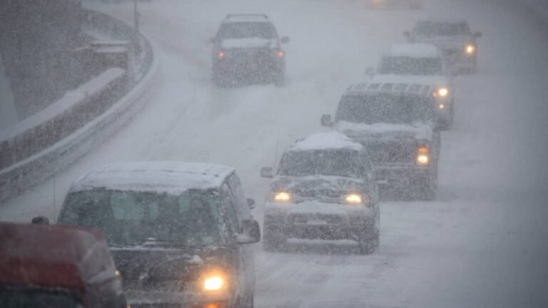
If your plans next week include a mountain pass or an early ski trip, the timing of your trip could make all the difference. The Climate Prediction Center puts higher elevations across the West at risk of heavy snow from Tuesday, Nov. 17, through Monday, Nov. 23, with Tuesday carrying the strongest signal. A risk of high winds stretches from the West Coast to the Great Plains over the same week.
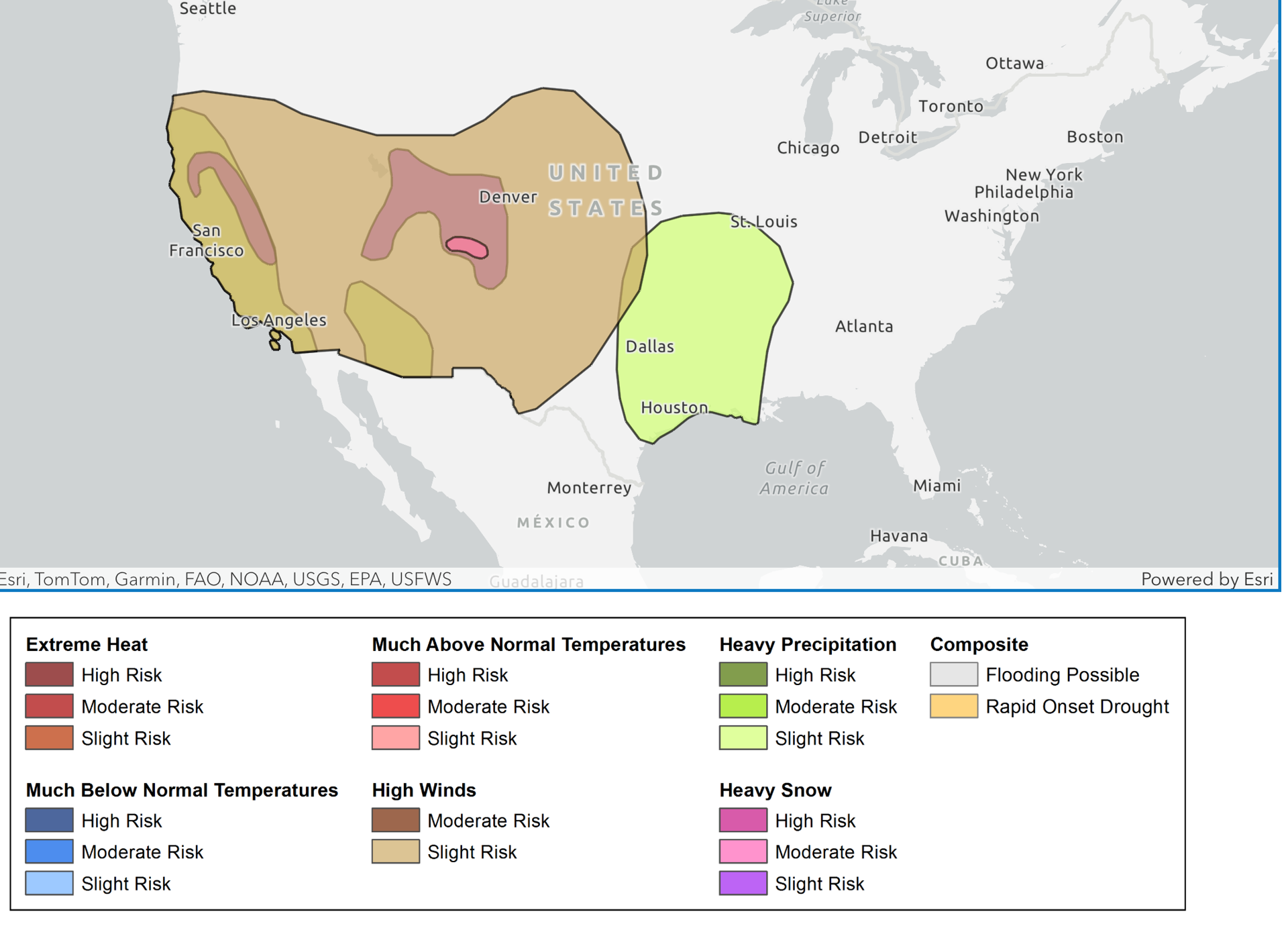
NOAA / Climate Prediction Center
Where The Heavy Snow Risk Sits
The heavy snow risk covers higher elevations in five states:
- Colorado: the San Juan Mountains (moderate risk, Tuesday, Nov. 17) and the Colorado Rockies
- Utah: the Wasatch Range
- California: the Sierra Nevada and the Klamath Mountains
- Nevada: the Sierra Nevada
- Oregon: the Klamath Mountains of southern Oregon
The San Juans hold the only moderate risk, with better than a 40 percent chance of more than 6 inches of snow, according to the CPC. Last week’s map put the heavy snow zone over the Sierra and southern Oregon instead.
Colorado Traction Law
Routes in the moderate risk zone include U.S. 550 over Red Mountain Pass and U.S. 160 over Wolf Creek Pass. When CDOT activates its traction law, passenger vehicles need tires with at least 3/16 of an inch of tread rated all weather, M+S or mountain-snowflake, or must carry chains or an approved traction device. The rules list qualifying tires or chains, not drivetrain, and CDOT only recommends AWD or 4WD, so an all-wheel-drive SUV on worn or summer tires still falls short. Fines start at $100 plus a $33 surcharge and rise to $500 plus $157 if a vehicle blocks a lane.
Utah Canyon Rules
UDOT can put traction restrictions in place up to 24 hours before a storm, and Big and Little Cottonwood canyons carry the strictest rules. In those canyons, drivers relying on tires rather than traction devices need at least 5/32 of an inch of tread. AWD and 4WD vehicles need M+S or three-peak mountain snowflake tires on all four wheels, or traction devices on at least two, while two-wheel-drive vehicles need snowflake-rated tires all around or devices on the drive wheels. Several rental companies at Salt Lake City’s airport offer pre-inspected vehicles marked with a UDOT sticker on the windshield.
Sierra Routes
Interstate 80 over Donner Summit and U.S. 50 over Echo Summit sit in the slight risk zone, where California chain controls can apply.
Before You Go
The CPC updates the outlook every weekday, so the risk zones can still shift. Check your tread against the 3/16-inch requirement under Colorado’s traction law and the 5/32-inch minimum in Utah’s canyons, and check road status right before you leave on COtrip.org, the UDOT Traffic app or Caltrans QuickMap.