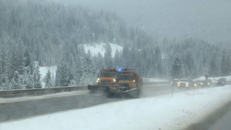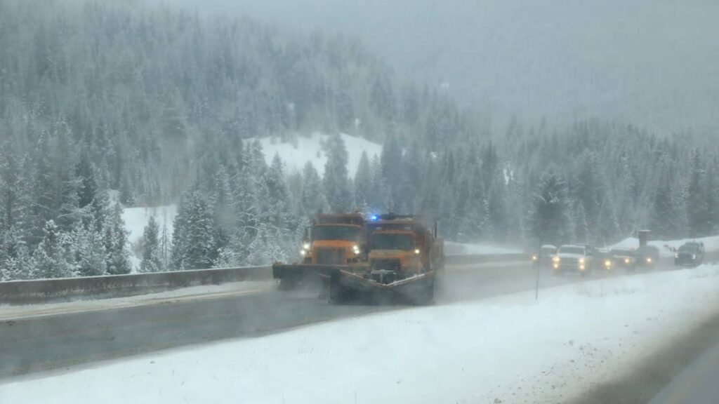
California and Nevada Snow are under winter storm watches from the National Weather Service, with snow totals near 48 inches possible above 8,000 feet through early Friday. Colder air comes with this storm, so snow levels could fall to about 3,500 feet and reach foothill towns and lower highway stretches. Travel may become very difficult to impossible, and the Wednesday morning and evening commutes could be especially difficult. Ridgetop gusts up to 80 mph also put power lines and trees at risk.
Where The Heaviest Snow Could Fall
The deepest snow is forecast for the highest terrain of the Sierra Nevada, while the mountains of far Northern California get the storm first, on Tuesday evening.
- Around 48 inches above 8,000 feet: Yosemite, Kings Canyon and Sequoia national parks, with 1 to 2 feet above 5,000 feet and gusts to 45 mph (NWS Hanford, 7 a.m. ET Wednesday to 7 a.m. ET Friday)
- 18 to 36 inches between 8,000 and 9,500 feet: the Eastern Sierra Slopes around Whitney Portal and Aspendell, with 10 to 18 inches lower down and gusts to 50 mph (NWS Las Vegas, same timing)
- 24 to 36 inches above 7,000 feet: the Lake Tahoe Basin, where Truckee, South Lake Tahoe and other towns at lake level could see 8 to 18 inches, and Mono County west of US-395, with 10 to 20 inches along the highway itself through Mammoth Lakes and Bridgeport; ridgetop gusts in both areas could reach 80 mph (NWS Reno, 7 a.m. ET Wednesday to 7 a.m. ET Friday)
- Up to 36 inches on the highest peaks: the Northern Sierra and Lassen Volcanic National Park, with 12 to 24 inches above 5,000 feet and gusts to 50 mph (NWS Sacramento, 1 a.m. ET Wednesday to 7 a.m. ET Friday)
- Up to 24 inches on the highest peaks: the Shasta County mountains and the Coast Range, with 8 to 12 inches above 4,000 feet (NWS Sacramento, 10 p.m. ET Tuesday to 7 a.m. ET Thursday)
- 8 to 18 inches above 4,000 feet: northeastern Trinity County (NWS Eureka, 10 p.m. ET Tuesday to 4 a.m. ET Thursday) and up to 18 inches west of US-395 around Susanville and Portola (NWS Reno, 7 a.m. ET Wednesday to 7 a.m. ET Friday)
- 8 to 14 inches above 4,000 feet: Siskiyou County, including Mount Shasta and Dunsmuir (NWS Medford, 10 p.m. ET Tuesday to 7 a.m. ET Thursday)
Wind damage to trees and power lines could be extensive on the eastern slopes, according to NWS Las Vegas, and the Reno office’s latest watch raises the same concern for Tahoe. A lighter round of snow continues under winter weather advisories into Monday night, and Tuesday should bring a break before the main storm.
Snow Levels Down To 3,500 Feet
In the Northern Sierra, snow levels are forecast at 3,500 to 4,500 feet Tuesday night before climbing back to 4,500 to 6,000 feet on Wednesday. Foothill communities such as Pollock Pines on US-50, Quincy and Mineral fall inside the watch area, with 4 to 8 inches possible between 4,000 and 5,000 feet and up to 12 inches at 5,000 feet. Siskiyou County could pick up 2 to 5 inches as low as 3,500 feet.
The Sacramento office expects the heaviest snow from Wednesday afternoon into the overnight hours, at rates of 1 to 2 inches per hour or more, while gusty winds significantly reduce visibility.
Interstate 5 Over Black Butte Summit
The Siskiyou County watch also takes in Interstate 5 around Mount Shasta City and Black Butte Summit, along with Highway 89 at Snowman Summit and Dead Horse Summit, Highway 3 at Scott Mountain Pass and Highway 97 at Grass Lake. Travel over the higher passes could become difficult or at times impossible, and heavy snow may hit the Wednesday morning commute.
Forecasters in Medford urge drivers to delay travel if possible. Those who can’t wait should leave extra following distance, avoid sudden braking or acceleration, take extra care on hills and in turns, and make sure their vehicles are winterized.
How California Chain Controls Work
Caltrans posts chain controls in three levels, and the requirements depend on the level posted at each checkpoint. Under R1, chains, traction devices or snow tires with at least 6/32 inch of tread are required on the drive axle of every vehicle except four-wheel-drive and all-wheel-drive models. R2 requires chains or traction devices on everything except four-wheel-drive and all-wheel-drive vehicles with snow-tread tires on all four wheels, and those vehicles still have to carry traction devices in the control area, according to Caltrans. R3 means chains on every vehicle with no exceptions.
R1 and R2 are the most common conditions, and a highway is usually closed before R3 is imposed, the California Highway Patrol notes. Caltrans recommends that all vehicles, including four-wheel-drive models and cars on snow tires, carry chains in snowy weather, and its QuickMap shows current chain controls and closures.