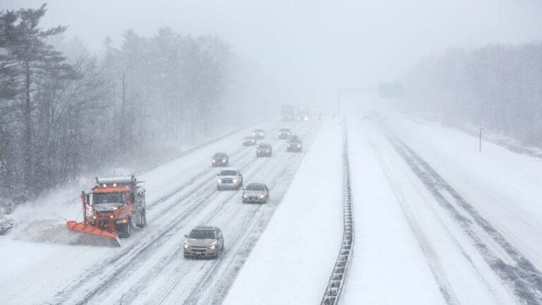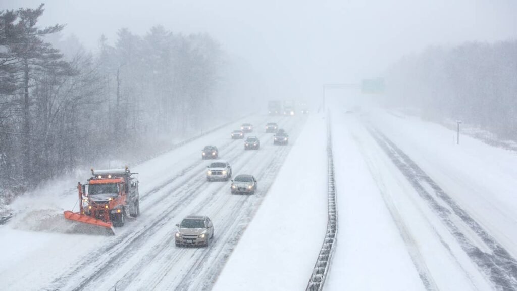
Winter storm warnings are in place for the midweek Sierra Nevada storm, with up to 4 feet of snow expected on the highest terrain in California and Nevada, according to the National Weather Service. Travel may be very difficult to impossible between Tuesday night and early Friday, and gusts reaching 100 mph over the ridges could bring down tree branches and damage power lines. Snow levels are expected to dip to around 3,500 feet, low enough to bring snow to several foothill towns.
Warning Areas And Snow Totals
Warnings from six NWS offices take effect between Tuesday evening and Wednesday morning:
- Northern Sierra and Lassen Volcanic National Park (NWS Sacramento), 1 a.m. ET Wednesday to 7 a.m. ET Friday: 1 to 3 feet above 5,000 feet and up to 4 feet on the highest peaks, with gusts to 55 mph. Carson Pass, Kingvale, Blue Canyon, Twain Harte and Arnold all fall inside it.
- Sierra foothills from 3,000 to 5,000 feet (NWS Sacramento), same timing: up to a foot between 4,000 and 5,000 feet in Pollock Pines, Quincy and Mineral, and a dusting possible as low as 3,500 feet.
- Shasta County mountains and the Coast Range (NWS Sacramento), 7 p.m. ET Tuesday to 7 a.m. ET Thursday: 8 to 12 inches above 4,000 feet and up to 2 feet on the highest peaks, gusts to 45 mph.
- Greater Lake Tahoe (NWS Reno), 7 a.m. ET Wednesday to 7 a.m. ET Friday: 2 to 4 feet above 7,000 feet and 1 to 2 feet at lake level in Truckee, South Lake Tahoe, Tahoe City and Incline Village, with ridgetop gusts to 100 mph.
- Mono County (NWS Reno), same timing: 2 to 4 feet west of US-395, 10 to 20 inches along the highway in Mammoth Lakes, Lee Vining and Bridgeport, and 2 to 10 inches east of it, with ridgetop gusts to 100 mph.
- Susanville, Portola and the eastern Sierra counties (NWS Reno), same timing: 6 to 12 inches above 5,500 feet and locally up to 2 feet west of US-395.
- Yosemite, Kings Canyon and Sequoia national parks (NWS Hanford), 7 a.m. ET Wednesday to 7 a.m. ET Friday: around 4 feet above 8,000 feet and 1 to 2 feet above 5,000 feet, gusts to 45 mph. Farther south near Johnsondale, up to 31 inches.
- Eastern Sierra Slopes, including Whitney Portal and Aspendell (NWS Las Vegas), same timing: 18 to 36 inches between 8,000 and 9,500 feet, more above that, and 10 to 18 inches between 5,000 and 8,000 feet, with gusts to 55 mph.
- Siskiyou County (NWS Medford), 10 p.m. ET Tuesday to 7 a.m. ET Thursday: 10 to 18 inches above 4,000 feet, including Snowman and Dead Horse summits on Highway 89, and 7 to 16 inches around Etna and Scott Mountain summits, with gusts to 50 mph. A winter weather advisory covers I-5 between Black Butte Summit and Weed, plus Mount Shasta City and McCloud, with 3 to 8 inches.
- Trinity County (NWS Eureka), 10 p.m. ET Tuesday to 4 a.m. ET Thursday: 8 to 12 inches above 4,000 feet on the higher passes of Highways 3 and 36, gusts to 55 mph.
Timing, Wind And Whiteouts
The storm reaches the mountains at different times, and several details in the warnings matter for drivers:
- Heaviest snow in the morning commute. The Sacramento office’s warning expects the heaviest snow in the Northern Sierra from Wednesday morning into the afternoon, at 1 to 2 inches per hour or more, right when traffic builds on I-80 and US-50.
- Tuesday evening farther north. The Shasta County mountains, the Coast Range, Siskiyou and Trinity get the storm first, so the Tuesday evening commute is in play there along with both Wednesday commutes.
- Waves on Lake Tahoe. The Reno office expects waves of 2 to 4 feet on the lake under ridgetop gusts up to 100 mph, and commutes on both Wednesday and Thursday to be affected.
- Whiteouts on the eastern slopes. NWS Las Vegas warns that whiteout conditions will make travel treacherous and potentially life-threatening, and that strong winds could cause extensive damage to trees and power lines.
- Power outages near Mount Shasta. Medford says strong winds and the weight of snow on tree limbs may bring down power lines.
Gusts in the Northern Sierra could also sharply reduce visibility. Tuesday brings a break in the Northern Sierra before the warnings begin.
Before Driving Over The Sierra
The California Highway Patrol advises keeping the gas tank full, since drivers may need to change routes, turn back or sit in a traffic delay during a bad storm.
If a vehicle stalls, the CHP says to stay with it and conserve fuel while keeping warm, and to watch for exhaust or carbon monoxide problems. The agency also recommends carrying water, food, warm blankets and extra clothing, keeping a spare key in a pocket and clearing fog from the windows with the defroster and a clean cloth.
Bridge decks and shaded stretches can ice over before the rest of the road, the CHP notes, and a speed that is safe on dry pavement may not be safe in snow. Caltrans QuickMap and 511 list chain controls and road closures as they change. Autoblog’s earlier coverage of the watches explains how California’s chain control levels work.