Severe Weather Threat Expands Across the South
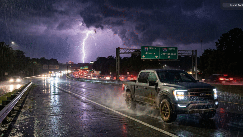
The severe weather threat is far from over for the southern United States. According to the latest outlooks from the National Weather Service Storm Prediction Center, the second half of an upper-level low is expected to arrive on Monday. This is the same system that triggered destructive tornadoes across the Midwest last week. Severe weather outlooks are already active for the Deep South, with the threat expanding northward as the system advances east. For those hitting the road on Monday, expect a renewed risk of intense thunderstorms and damaging winds.
The heaviest weather for the Deep South is expected to ramp up late Monday morning and persist through the evening commute. According to the National Weather Service Weather Prediction Center, a slow-moving cold front will stall as it interacts with rich Gulf moisture, creating a training effect in which multiple storm cells track along the same path. This setup is particularly dangerous for the Lower Mississippi Valley and eastern Texas, where high dewpoints in the 60s will provide the fuel for robust convection. While the general forecast calls for 1 to 3 inches of rain, the Storm Prediction Center notes that isolated areas could see totals exceeding 4 inches. This concentrated rainfall, combined with damaging wind gusts and the threat of large hail, means that driving conditions on major southern arteries will remain volatile well into Monday night.
Flash Flooding and Highway Closures
The most pressing hazard for motorists will be the sheer volume of water hitting the asphalt. Grounds across the region are already heavily saturated from last week’s storms. The National Weather Service warns that an additional 2 to 4 inches of rain will significantly increase the risk of flash flooding. Localized highway closures are highly probable as drainage systems become overwhelmed, turning regular commute routes into impassable hazards.
Hydroplaning and Saturated Roads
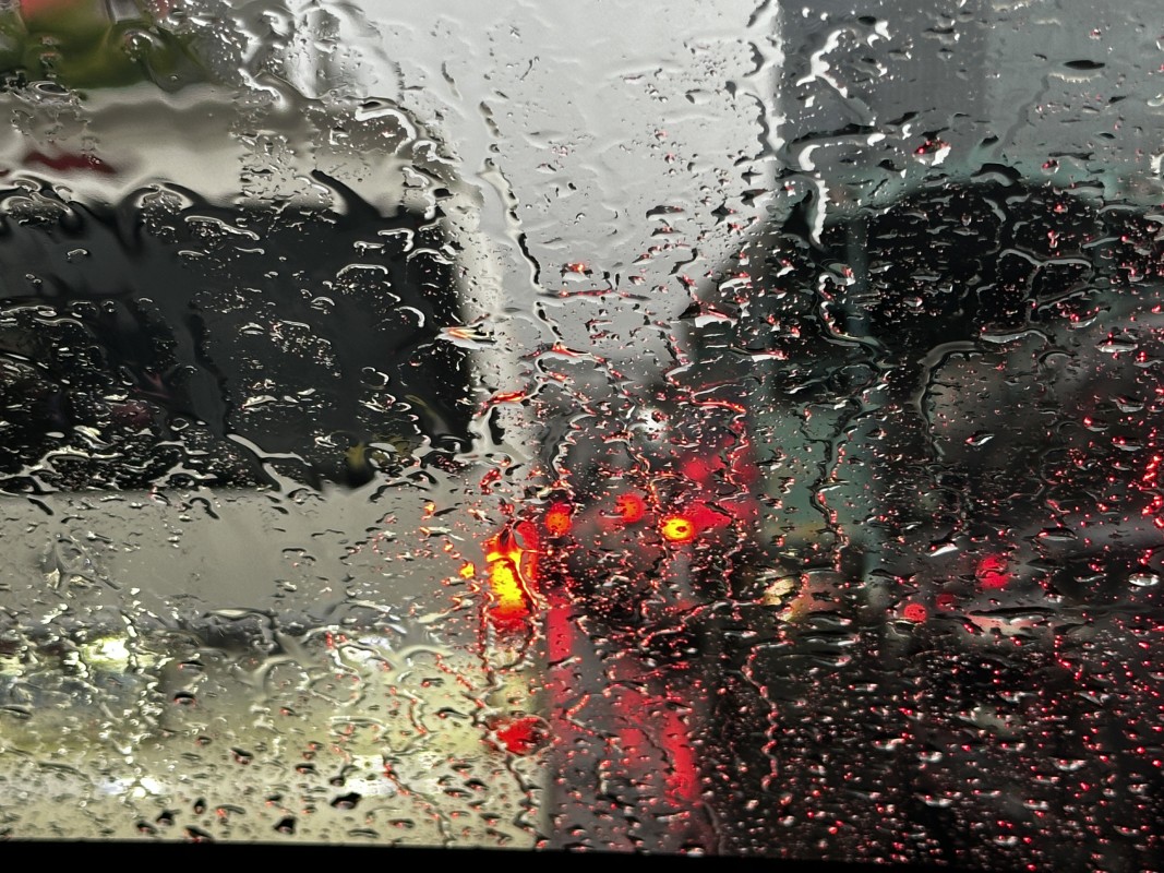
Navigating these saturated conditions requires a complete shift in driving habits. High-speed hydroplaning is a virtual certainty if drivers do not drastically reduce their speeds during these torrential downpours. Motorists must ensure their tire tread depth is adequate to channel water away from the contact patch. Furthermore, never attempt to bypass road closure barricades or drive through standing water, as the depth and current are often impossible to judge from behind the wheel.
Beyond simply slowing down, drivers should prioritize lane positioning and manual control to survive a heavy deluge. The outermost lanes of a highway are the most prone to water accumulation due to the road’s natural crown, so staying toward the center lanes can help you avoid the deepest puddles. If you find yourself hydroplaning, the most critical move is to remain calm and resist the urge to slam on the brakes. Instead, smoothly ease off the accelerator and keep your steering wheel pointed straight until you feel the tires reconnect with the pavement. Modern safety systems like Electronic Stability Control (ESC) are designed to help in these moments, but they cannot overcome the laws of physics if your speed is too high. Finally, always disengage cruise control when it begins to rain; the system may inadvertently try to maintain speed during a hydroplaning event, making it much harder for you to regain traction.