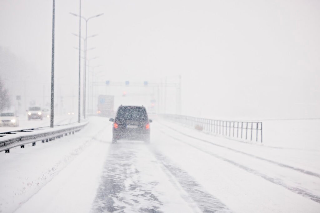
A Winter Storm Warning is in effect across parts of the northern U.S. today, March 30, as a fast-moving late-season system sweeps through the Upper Midwest and interior Northeast. Forecasters at the National Weather Service are flagging Northern Michigan, Upstate New York, and the higher elevations of Vermont and New Hampshire as the primary impact zones, with conditions expected to create dangerous travel through Monday evening.
What to Expect
Snowfall totals of 6-10 inches are forecast across the warning zones, with the heaviest accumulations likely along and north of the I-90 corridor in Michigan and across Upstate New York heading toward the Vermont and New Hampshire state lines. Wind gusts of up to 40 mph will combine with falling snow to produce blowing and drifting conditions, particularly on rural roads and exposed highway stretches. Visibility will drop significantly during the predawn and early morning hours, when gusts are expected to peak.
While the I-95 corridor from Philadelphia to Boston is seeing a transition to plain rain as warmer air works in from the south, interior regions are taking the full winter punch. Drivers planning to travel on I-87 through the Adirondacks, I-90 across western and central New York, or any elevated route through the Green Mountains or White Mountains should expect significant deterioration throughout the day.
Getty Images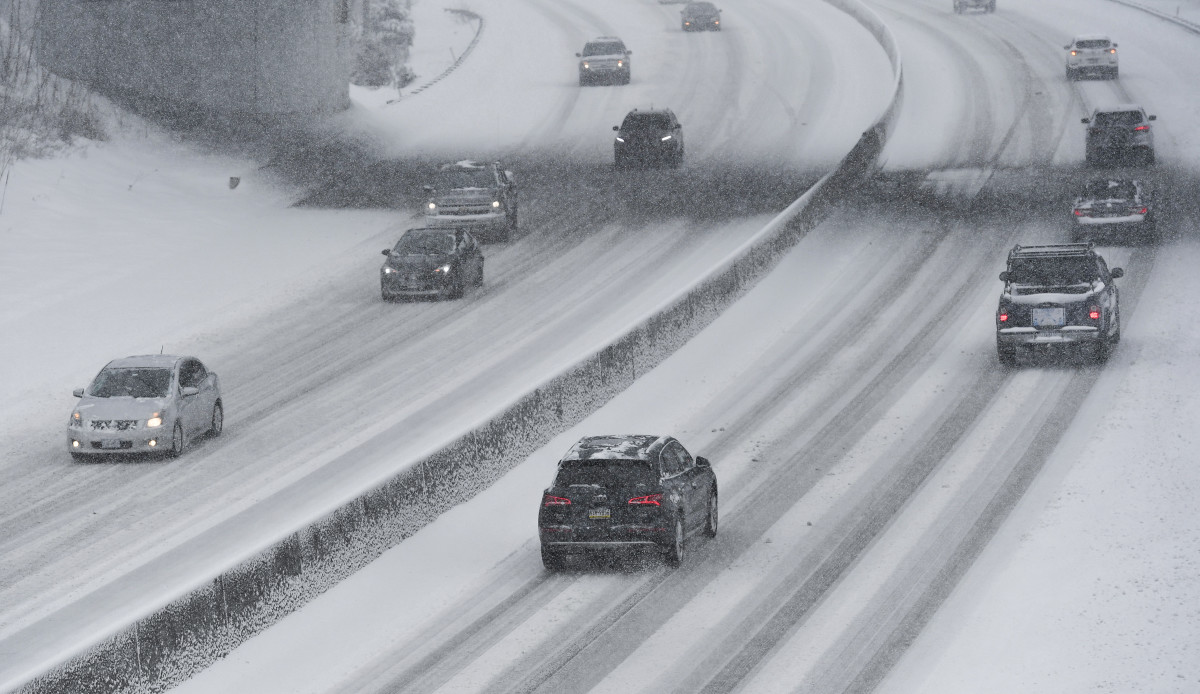
Road Conditions
The combination of accumulating snow and sustained wind gusts is likely to cause rapid changes in road conditions, including the formation of snowpack and ice on bridges and overpasses. Rural secondary roads in the warning zones could see drifting that reduces them to single-lane or impassable conditions. The NWS is urging drivers in affected areas to allow extra travel time, keep emergency supplies in their vehicles, and avoid travel altogether during peak accumulation windows if possible.
Icing Threat in Maine
Beyond the snow, a separate icing threat is worth noting in northwestern Maine, where the National Weather Service’s Weather Prediction Center is tracking probabilities of at least 0.10 inches of ice accumulation. Even small amounts of ice can make road surfaces treacherous, and any icing should be treated as a serious hazard, particularly on bridges, exit ramps, and shaded stretches of highway.
Winter Driving Tips
If you are driving into the warning zones today, your tires are the single most important variable. All-wheel drive will help you get moving on snow-covered roads, but it does nothing to reduce stopping distance on ice, a point worth keeping in mind on any bridge or overpass along I-90 or I-87 where black ice can form without warning.
Autoblog’s winter car readiness checklist recommends a minimum of 4/32 inches of tread depth for safe winter driving, and cold temperatures will drop tire pressure by roughly 1 to 2 PSI for every 10 degrees, so check your pressures before you leave. Give yourself at least triple the stopping distance you would use on dry pavement.
If today’s storm is a reminder that your vehicle still isn’t set up for winter, Autoblog’s full breakdown of the best cars and SUVs for snow and winter driving is worth a read, and our guide to best practices for driving in snow and ice covers everything from skid recovery to what to keep in your trunk for emergencies. The smartest call on a day like today, if your schedule allows, is to wait out the peak accumulation window entirely.
Timing
The system is moving through the region today, Monday March 30, and conditions are expected to improve behind the storm’s passage later in the evening hours. However, refreezing is a concern overnight in areas where roads are initially treated, so hazardous conditions may persist into Tuesday morning.