
A review of a fascinating volume that examines the principles and practice of the often neglected but incredibly powerful field of engineering geomorphology.

Engineering geomorphology provides a vital input into the site investigation, the selection of alignments for infrastructure projects, land use zonation and geohazard risk assessment. In essence, it involves the use of trained and skilled practitioners to map the terrain, with a key focus on identifying landforms that have been inherited from the past. Lee and Fookes (2015) provided a very helpful commentary of the development of the discipline in the UK, led by pioneers such as Denys Brunsden, David (DKC) Jones and Peter Fookes, amongst others. Their work inspired the careers of a key practitioners in industry and academia, notable amongst which were Jim Griffiths, Mark Lee and, of course, the author of this book, Gareth Hearn.
To be a good engineering geomorphologist requires a very strong understanding of underlying landscape processes, excellent mapping skills, an ability to “read the landscape”, the capacity to interpret complex information and a willingness to understand the long term evolution of a landscape. Engineering geomorphological assessment develops through a process of hypothesis formation and testing. Of course, these skills are developed through a combination of geomorphological education , research and field-based practice. But it is remarkable that so few volumes have been produced that guide the development of these skills.
In that context, Gareth Hearn’s new book, Engineering Geomorphology – A Practitioners Guide (published by Whittles Publishing) is immensely welcome. Gareth has had a lifelong career in the application of engineering geomorphology, starting with a PhD supervised by David Jones and Denys Brunsden, and then working around the world on a fascinating range of projects. Much of his career was spent with Scott Wilson (now part of AECOM), and then in the later stages of his career as an independent consultant. He may be the most experienced practitioner of engineering geomorphology. Thus, the distillation of his knowledge into this guide is really powerful.
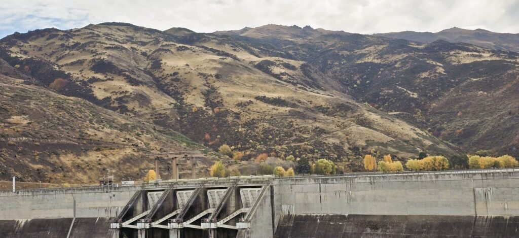
After a brief introduction to the principles of engineering geomorphology, the volume introduces the main concepts through the lens of land use planning, covering the main approaches to desk studies, the use of remote sensing, field mapping, etc. The focus then shifts to specific hazard types within engineering geomorphology – i.e.. landslide, fluvial and coastal hazards. The later chapters focus on the nuances and settings of specific infrastructure types – roads and railways; pipelines; dams and open cast mining. There is a very interesting consideration of construction materials and finally a fascinating examination of future prospects and directions for engineering geomorphology.
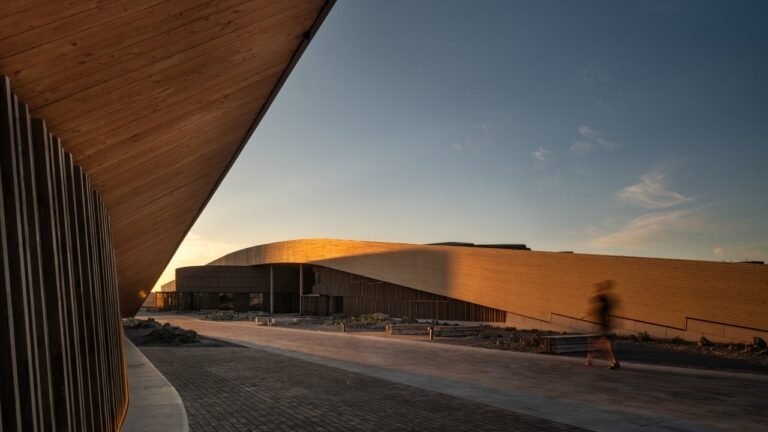
Throughout the book, Gareth combines underlying principles with practical approaches, including detailed resources that a practitioner can use, and very detailed case studies drawn from his work around the world. It is beautifully illustrated – in some cases the diagrams are close to being works of art in their own right – as well as providing a fascinating amount of detail of the processes that have led to the evolution of the landscape and the thinking of the practitioner in making an interpretation.
Take, for example, this illustration, compiled as part of the engineering geomorphological interpretation of the Freida River Copper-Gold Project in Papua New Guinea:-
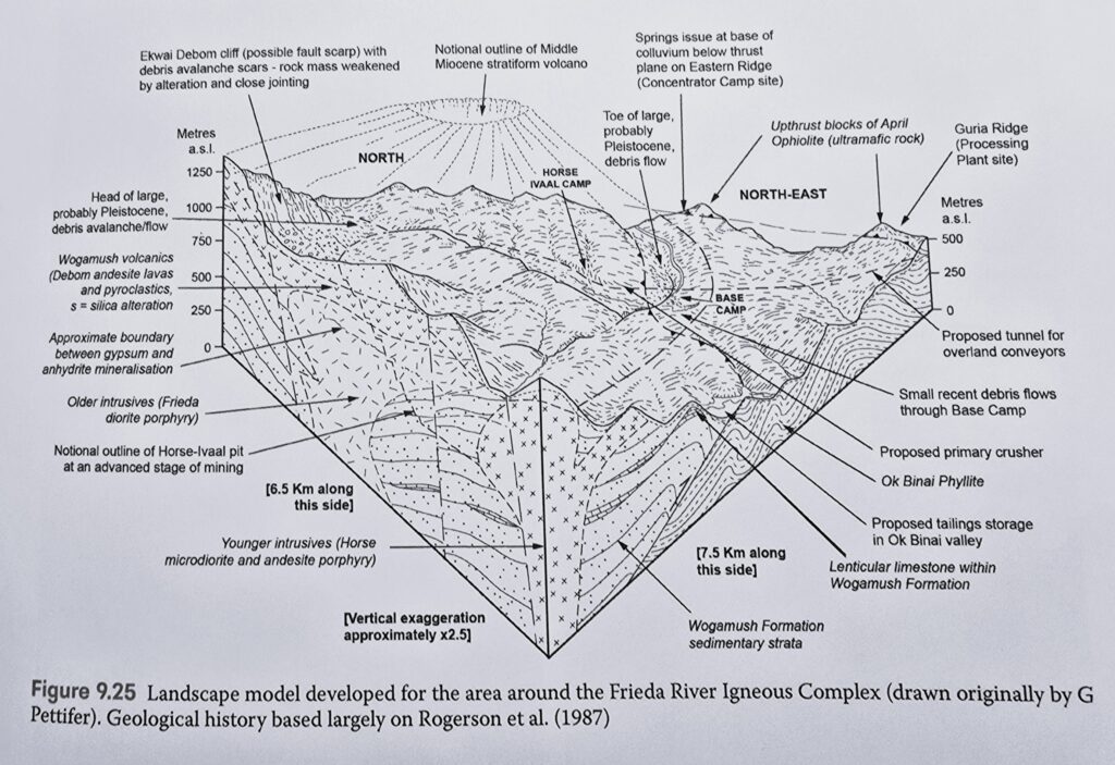
I find it almost impossible not to ponder this diagram, and the complex understanding that underpins it, in detail.
In the final section Gareth makes a number of key points. First, that whilst AI and big data offer real opportunities, they will supplement but not replace practitioners. In my view, it is only a matter of time until we see a major accident that has resulted from the use of AI rather than the skills provided by human geomorphologists. Second, that too few projects avail themselves of the opportunities provided by detailed engineering geomorphological analysis. I often return to this quote by the chair of the HS2 debacle in the UK, back in 2019:-
“The funding … took into account estimates based on initial client estimates derived from desktop drawings for the hybrid bill and without the benefit of any investigation of ground conditions or similar levels of detail across all areas of scope”
And third, that fieldwork is absolutely essential, but that the skills to undertake this work are rapidly being lost, as is a willingness to include detailed field mapping within project design. At a time when hazards are becoming more intense and more frequent, this is clearly a mistake for which we will pay dearly.
Overall, this is a remarkable volume. At one level, it serves to document the skills that Gareth has developed and the projects to which he has contributed. That in itself invaluable. But more importantly, it provides a richly illustrated, practical and detailed guide for future practitioners. It includes a combination of underlying principles, practical approaches and useful resources to allow an early career (or indeed an experienced) engineering geomorphologist to develop their skills. And it is written in such a way that it has the potential to inspire the next generation of practitioners to enter the profession.
I hope that it will be widely read and appreciated – it is a fitting tribute to the pioneers of engineering geomorphology.
References
Hearn, G. 2025. Engineering Geomorphology – A Practitioners Guide. Whittles Publishing. ISBN: 978-184995-609-3. Awesome Books are selling it for £82.36 at the time of writing.
Lee, E.M and Fookes, P.G. 2015. A note on the origins of engineering geomorphology in the UK. Quarterly Journal of Engineering Geology and Hydrogeology 48, 147 – 156. https://doi.org/10.1144/qjegh2014-048. PDF for download.
Text © 2026. The authors. CC BY-NC-ND 3.0
Except where otherwise noted, images are subject to copyright. Any reuse without express permission from the copyright owner is prohibited.