This has been a summer of extreme weather, so brace yourself—it looks like Mother Nature may have another curveball up her sleeve.
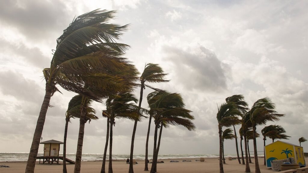
As if we don’t have enough to worry about—from the apocalyptic-looking, yellow, smokey skies in the Northeast from the Canadian wildfires, to massive heat waves across the U.S. and Europe—there’s now a rare event brewing in the ocean that could bring on a destructive hurricane season.
“A rare Atlantic Niña [not to be confused with La Niña] has appeared in the tropics, just as a powerful Super El Niño continues to build in the Pacific,” according to Severe Weather Europe. “These two ocean anomalies may look opposite on the map, but their atmospheric impact is pushing in the same direction, creating an atmospheric shield for the U.S. hurricane season.”
In effect, this “atmospheric shield” creates a “hostile setup” for this year’s Atlantic hurricane development, and will likely bring “higher pressure, sinking air, stronger wind shear, and reduced rainfall across the main tropical development regions.”
This news comes just a month after the National Oceanic and Atmospheric Administration’s (NOAA) Climate Prediction Center said El Niño is “likely to emerge soon,” with an 82% chance of it forming between May and July, and with a 96% chance it will continue from December into February 2027. The NOAA also said it is likely to take on the strength of a “super” El Niño.
What’s happening now? The Atlantic Niña is cooling waters in the Atlantic Ocean, at the same time a “Super El Niño” is gaining strength in the Pacific. Taken together, Severe Weather Europe predicts August will mark the start of an uptick in the Atlantic hurricane season, as these two weather patterns “impact on hurricane formation and landfalls.”
What exactly does this mean? In short, while it’s too early to say, we could be looking at one of the worst hurricane seasons in recent history.