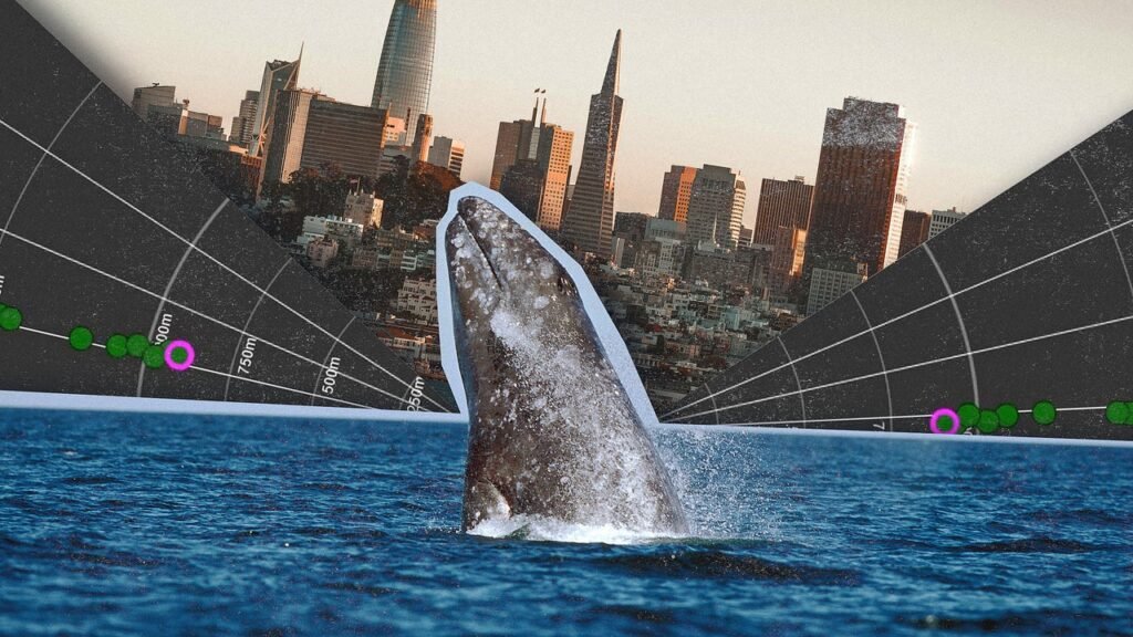
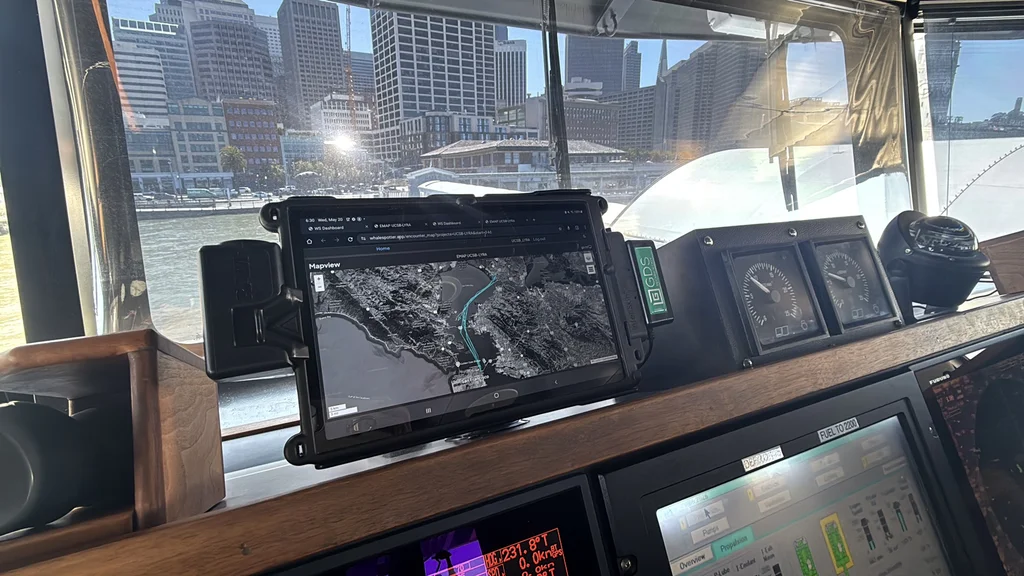
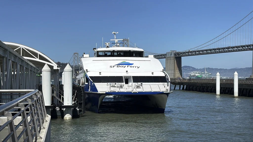
For the last few months, a tablet on the dashboard of a commuter ferry crossing San Francisco Bay has had an unusual job: warning the crew when whales are nearby. Whenever an AI-powered system detects one in front of the ferry, the tablet pings, giving the captain time to slow down or change course and avoid a collision with the 45-foot-long mammal.
The system is part of a pilot that will last at least two years as researchers look for a way to address a growing problem. Until recently, gray whales were rare inside the bay. But as climate change affects marine food sources, the whales are increasingly stopping in the area as they migrate thousands of miles from Alaska to Mexico. It’s a deadly place for a whale, with cargo ships, cruise ships, oil tankers, and other vessels crossing the same path. Last year, 21 whales died in the bay; 40% of the deaths were attributed to ship strikes.
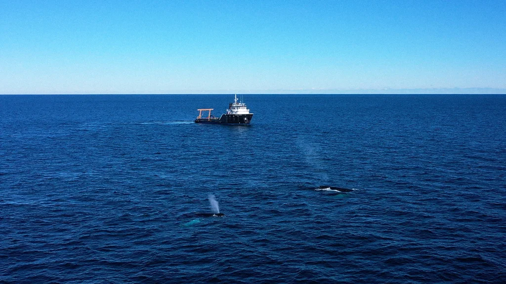
“It’s sort of a recipe for disaster in a lot of ways,” says Rachel Rhodes, a scientist at the University of California Santa Barbara’s Benioff Ocean Science Lab, one of the organizations partnering on the project. “It’s [a] small space, and there’s a lot of ship traffic. So folks really wanted to come together to try to figure out some ways to help reduce that risk.”
The Benioff Lab runs WhaleSafe, a platform that tracks reported whale sightings to help alert ships. In Southern California, the group has tested other types of technology, including acoustic buoys that track whale sounds. But gray whales aren’t particularly vocal, and for the pilot in San Francisco, the partners turned to thermal cameras that can detect the heat signature of a whale’s breath when it comes to the surface.
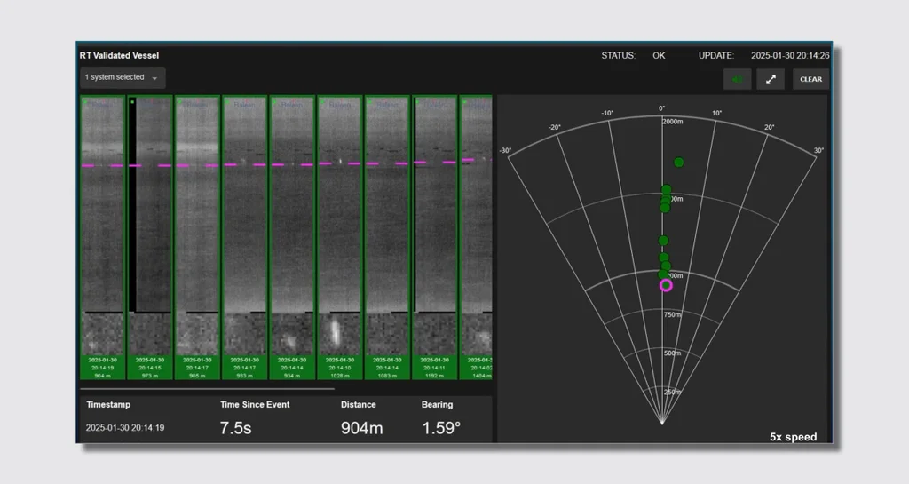
WhaleSpotter, the startup that developed the technology, uses AI to analyze the thermal images. A network of worldwide experts confirms each whale spotting as it happens, and then the system sends an alert.
The technology “can be mounted on a vessel and detect the whales ahead of the vessel far enough in advance of the danger zone to give the captain enough time to make a corrective course action,” says Shawn Henry, CEO of WhaleSpotter.
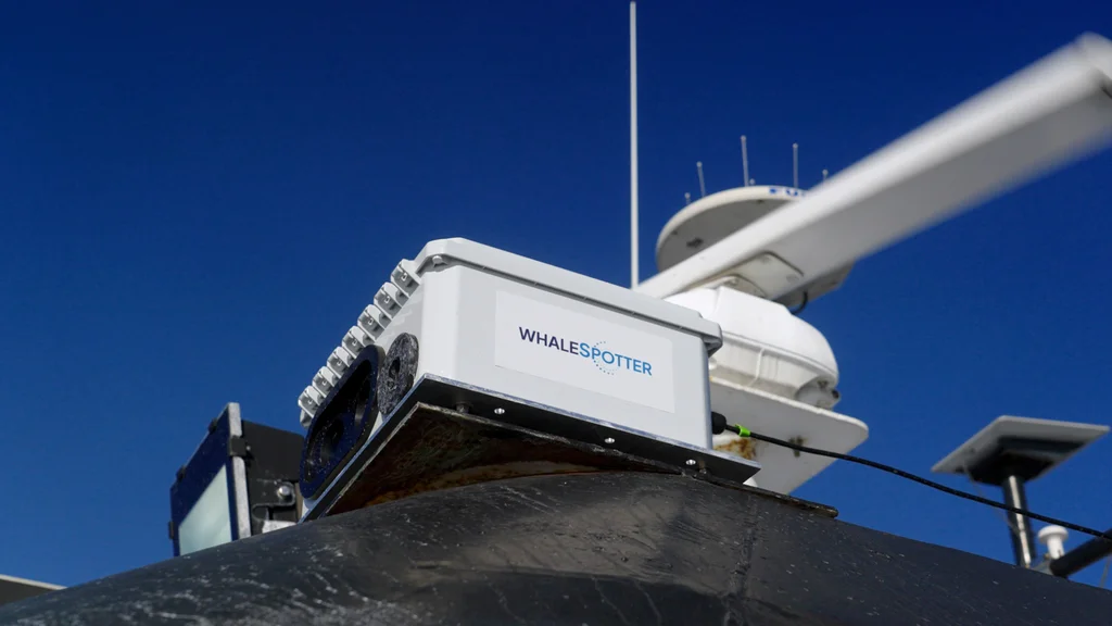
The pilot is using the cameras in two places. One is on the ferry, which already had a human on board during whale season to spot whales. The thermal system, which is accurate up to four nautical miles in advance, can work faster. “We’ve often seen the WhaleSpotter alert come in just a bit before we would be able to see it with our naked eyes or binoculars, because the distance is quite good on it,” says Thomas Hall, director of operations at San Francisco Bay Ferry. The technology also works at night and in dense fog, when a human lookout might easily miss a whale. The tablet shows the position of the whale on radar.
As recently as a handful of years ago, Hall says, it was still rare to see whales on the ferry. That’s changed. Now, whenever the vessel slows down, regular commuters run to the window, knowing that they’re likely to see a whale.
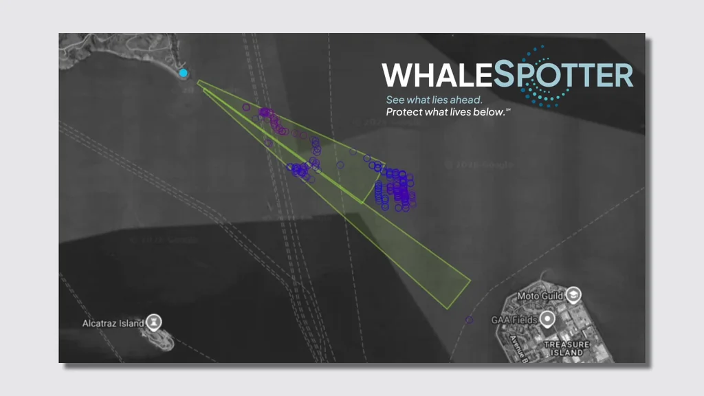
A second camera is mounted on Angel Island, an island north of San Francisco, at a spot that whales are now especially likely to pass. As soon as the cameras switched on in May, the alerts started to stream in. “We pointed it right where the confluence of the ships’ channels and the gray whales were known to be, and we had 6,600 detections in the first nine days,” Henry says.
The data from that camera, along with the data from the ferry, goes into WhaleSafe and is sent to the Coast Guard, which can alert any vessels that are crossing through the area.
The pilot is exploring how both land-based and ship-based cameras can help tackle the problem in the area. “If we had a few dozen locations around the bay and a few dozen vessels, we could in near-real-time report on where the whales are at all times in San Francisco Bay,” says Henry. “Obviously, the even better solution would be to get on every single vessel that comes in and out of the bay, but that’s measured in thousands. That’s our long-term objective.”
The company, which spun out of research at the Woods Hole Oceanographic Institution, has worked with a growing number of long-distance shipping companies over the last five years. Though San Francisco’s challenge is new, ship strikes in the open ocean are a global problem; an estimated 10,000 whales are killed each year. “We really designed this solution to solve for the largest vessels that are out there, because those are the ones that pose the largest risk,” says Henry. “For example, we are on container ships that are just shy of a thousand feet long. And they don’t turn quickly at all.”
Whales need a solution quickly: on the West Coast, the population of gray whales dropped roughly in half over the last decade, falling from around 27,000 animals in 2016 to 12,900 last year. On the East Coast, North Atlantic right whales are on the brink of extinction, with only around 380 whales left.
In the Bay Area, other scientists are collecting additional data separately, including tracking individual whales with temporary satellite tags. All the data could help identify safer routes if whales are gathering in specific areas. “We’ll be able to adjust our routes in a more structural way and not just have to do it on every trip,” says Hall.
Speed limits can also help. The West Coast has voluntary speed-reduction zones in nearshore shipping lanes, but no regulations yet within the San Francisco Bay; on the East Coast, mandatory speed limits are in place for large vessels in some areas, though the Trump administration is considering removing them. Scientists say that the WhaleSpotter tech shouldn’t replace speed limits, but it can boost their effectiveness. “They can work really well when they’re used together,” says Rhodes.