NOAA’s Climate Prediction Center has published its newest September outlook for December through February. The heavy snow signal still runs through the Southwest, with the strongest wet odds in the West now over California, while the northern Rockies and the Great Lakes still lean dry and warm.
El Niño strengthened further over the past month, according to the center. Its latest ENSO discussion raised the odds of an October through December event stronger than any El Niño on record back to 1950 from 69 percent to 75 percent, based on a three month RONI value of plus 2.5 degrees Celsius or higher, and puts the chance of a very strong event through fall and winter above 90 percent.
Where The Snow Signal Strengthened
Across much of the West, the temperature map is left at equal chances, with forecasters seeing no lean toward a warm, normal or cold winter. That block takes in central and southern California, Nevada, Utah, Arizona, Colorado and New Mexico, and it has not changed since August.
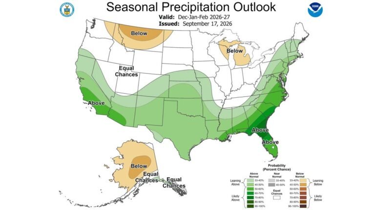
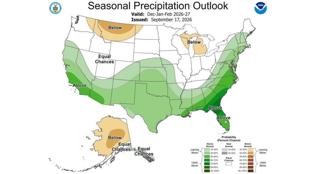
On the precipitation map, the 50 to 60 percent shading for above normal precipitation was a narrow strip in August along the southern California coast, running across to southwestern Arizona. It now reaches north into central California and well inland, over the central and southern Sierra. The range includes Mammoth and Yosemite and is crossed by US 395 and the trans Sierra highways. View the NOAA map here.
Where The Snow Signal Held
The rest of the heavy snow list from the earlier maps held. Utah, Colorado, northern Arizona and northern New Mexico keep the same pairing they had a month ago: a lighter wet signal over terrain where the temperature outlook remains at equal chances. The Wasatch, the San Juans, the central Colorado high country and the terrain around Flagstaff stay in the heavy snow case, under lighter shading than California’s.
NOAA does not forecast seasonal snowfall, but forecasters who do have reached a similar view. The Direct Weather channel’s latest winter model update has the Southwest turning wet by December and staying that way into February, with a stronger February and March for Rockies ski areas. The Weather Company expects resorts from California to Colorado to see much more consistent, reliable snowfall than last winter.
Where The Snow Signal Is Still Weak
The northern Rockies and the Pacific Northwest are still favored for below normal precipitation, and that area has not shrunk since August. Montana’s warm shading weakened, but the state stays dry on the precipitation map, so its snow outlook does not improve. Michigan and the Great Lakes keep their dry pocket, and the northern Plains remain blank.
The maps measure each region against its own normal, so a milder, drier winter in Minnesota can still produce far more snow in absolute terms than a wet winter in Arizona. The shift describes where snow is likely to run above its own average.
What It Means For Drivers
In its August discussion, the Climate Prediction Center noted that recent strong El Niños of this type have produced copious precipitation in California, especially in late winter, with 2024 and 1998 among the wettest Februaries in the last 100 years for parts of the state. If this winter follows that pattern, some of the wettest conditions on the Sierra passes could come in February.
The same storms that load the Sierra fall as rain below the snow line, on I-5 through the Central Valley and on the freeways around Los Angeles and the Bay Area. Tread depth decides how a tire copes with standing water, and Consumer Reports advises keeping at least 4/32 of an inch through the middle of winter. A quarter pushed head first into a groove gives a quick read. If the top of George Washington’s head is just visible, the tread is at about 4/32, and a penny that shows the top of Abraham Lincoln’s head means 2/32, which is worn out.
Cold also cuts into electric vehicle range on the way to Tahoe or Mammoth. AAA testing found that at 20 degrees Fahrenheit with the cabin heater running, range can fall by 41 percent, and the climb to resort elevations adds to the draw, so charging stops are worth planning around the lower number.
CPC replaces these maps on Oct. 15, the same day NOAA issues its annual winter outlook.