Drivers across a five-state stretch of the Plains and Gulf Coast face an active severe thunderstorm threat today, Friday May 8, 2026, with golf ball hail, 60 mph wind gusts, and embedded supercell structure already producing warnings from northeastern Oklahoma down through coastal Louisiana and Alabama. The Storm Prediction Center flagged the corridor in its Day 1 outlook this morning, with NWS Norman, NWS Tulsa, and NWS Mobile pushing operational warnings through the afternoon.
Peak Driving Danger Window
The most hazardous window runs from late afternoon through the overnight hours along I-35 from Ponca City south to the DFW Metroplex, where a developing storm complex is expected to reach Red River counties after 10 PM CDT with damaging straight-line winds and large hail.
What to Expect
- Hail size: Golf ball (1.75 inches) confirmed in Osage County, Oklahoma; quarter size more common across the broader threat area.
- Wind gusts: 60 mph radar-indicated, with isolated higher gusts possible in stronger cells.
- Worst corridors: I-44 through northeastern Oklahoma, I-35 Ponca City to DFW, I-65 Mobile to Saraland, I-10 New Orleans east, I-49 central Louisiana.
- State count: Oklahoma, Texas, Louisiana, Mississippi, and Alabama, with southeast Kansas and the Ozarks in the broader risk zone.
- Storm mode: Discrete cells transitioning to organized clusters by evening.
The setup pairs a southeastward-moving cold front with low-level Gulf moisture, anchored by a developing surface low over northwest Texas that is sharpening the dryline through the afternoon.
Road Conditions
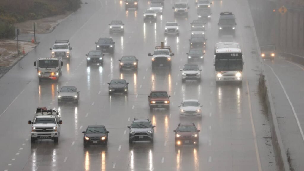
Hail bigger than 1.5 inches will dent body panels and crack windshields on any vehicle caught in the open. Wind gusts near 60 mph approach the threshold where empty box trailers and tall SUVs start losing lateral stability in crosswind gusts, particularly on exposed bridge spans. Real-time conditions for Oklahoma’s I-35 and I-44 corridors are tracked at OKDOT’s traffic map, and Texas drivers should check TxDOT’s DriveTexas portal before any evening trip into the Red River area. Autoblog’s guide to hydroplaning prevention covers the fundamentals worth refreshing before heading out.
Severe Storm Driving Tips
If you can avoid the highway after 4 PM CDT today, do it. If you can’t, the standard severe-weather playbook applies. Pull off at exits, not on shoulders, since 60 mph gusts plus poor rear visibility from chase traffic make shoulder stops dangerous. Keep stopping distance at three times the dry-pavement standard on wet roadway, and watch tread depth: 4/32 of an inch is the practical wet-grip threshold, below which hydroplaning risk rises sharply. Autoblog’s severe weather driving practices and tire tread depth guide cover the basics, and the NWS severe weather safety page outlines what to do if your vehicle is in the path of a tornado warning.
Timing
The current threat window runs through Friday night, with the OK-to-DFW complex expected in Red River counties after 10 PM CDT and persistence into early Saturday morning across the ArkLaTex and lower Mississippi Valley. NWS Houston has flagged a Marginal Risk for all of southeast Texas on Saturday as the boundary stalls. We’ll update this article as conditions evolve.