When Klaus Thymann flew nearly 15,000 feet up into Indonesia’s remote highlands last November, he was racing to document ice that few people realize exists. Near the summit of Puncak Jaya, the country’s highest mountain, some of the world’s last tropical glaciers are rapidly disappearing.
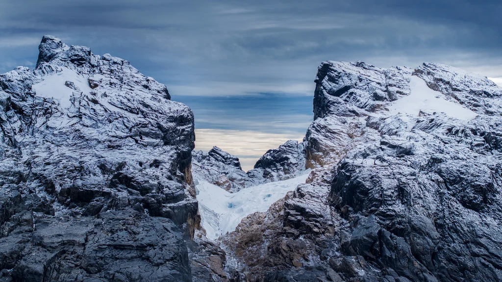
“We stand now to lose these glaciers within a decade,” says Thymann, an explorer, photographer, and scientist who spent days creating a detailed 3D model of the remaining ice.
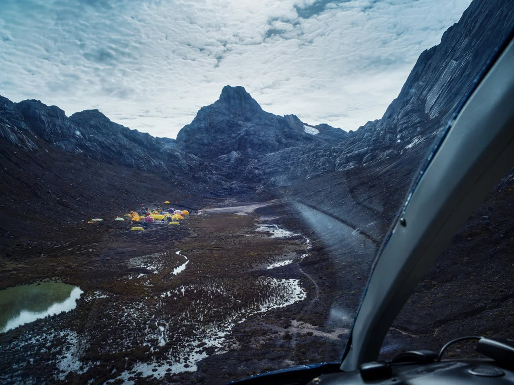
Few outsiders ever see the glaciers. The mountains sit in a rebel-held area in Central Papua Province, on the island of New Guinea, Indonesia’s easternmost territory. It’s so dangerous there that Indonesia has banned hiking to the peaks. The U.S. State Department warns Americans against travel to the region because of civil unrest (one of the suggestions, if someone takes the risk: Appoint a family member as a point of contact in case you’re taken hostage).
To reach the glaciers, Thymann had to wait for days for the conditions to be right for a helicopter to fly up the mountain. When he arrived, along with guides and armed guards, he saw one of the rare glaciers—not far from humid rainforests and beaches, but at an altitude so high that the area has historically stayed below freezing. Now, the ice is melting quickly because of climate change, an accelerated version of the process that’s happening to glaciers around the world.
Between 1980 and 2024, as the planet heated up, the glaciers in the area lost 97% of their ice cover. They once sprawled over an area about twice the size of Central Park. By 2024, the total area was smaller than Grand Central Station. Four out of the original six glaciers have disappeared. The last two are expected to disappear by 2030.
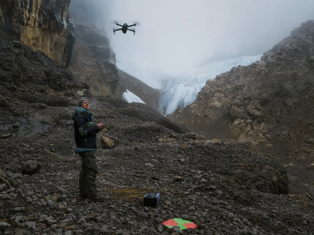
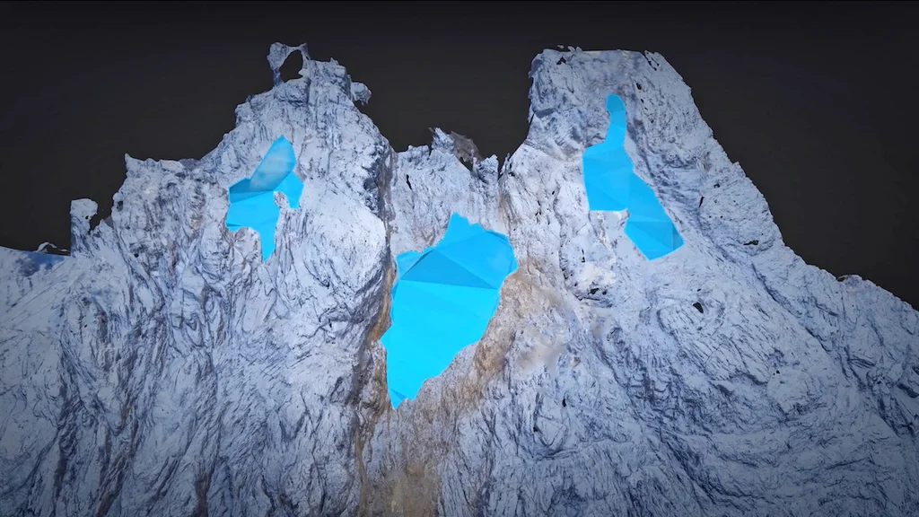
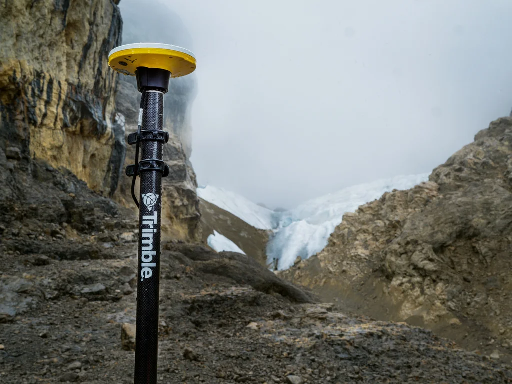
Thymann used drones to photograph the mountain “from every conceivable angle,” he says, later using software to stitch together overlapping images to create a 3D model of the site and one of the glaciers, called the East Northwall Firn, which has split into three parts as it melts. Because of heavy cloud cover in the area—it rains 300 days a year—it’s difficult to accurately map the glacier using satellite images. Geolocation technology from a company called Trimble helped map the site in centimeter-level detail. Thymann, who has a nonprofit called Project Pressure that uses art, science, and activism to track environmental change, previously used a similar process to document other tropical ice in South America and East Africa.
The data from the Indonesian mountain is open source so scientists can use it to track the ecosystem as it changes. But it’s also a record of an important cultural site. “For locals, they’re called the ‘eternity’ glaciers,” says Thymann. “Now they’re becoming extinct. Maybe it’s a good thing for future generations to have a visual reference of what they look like.”