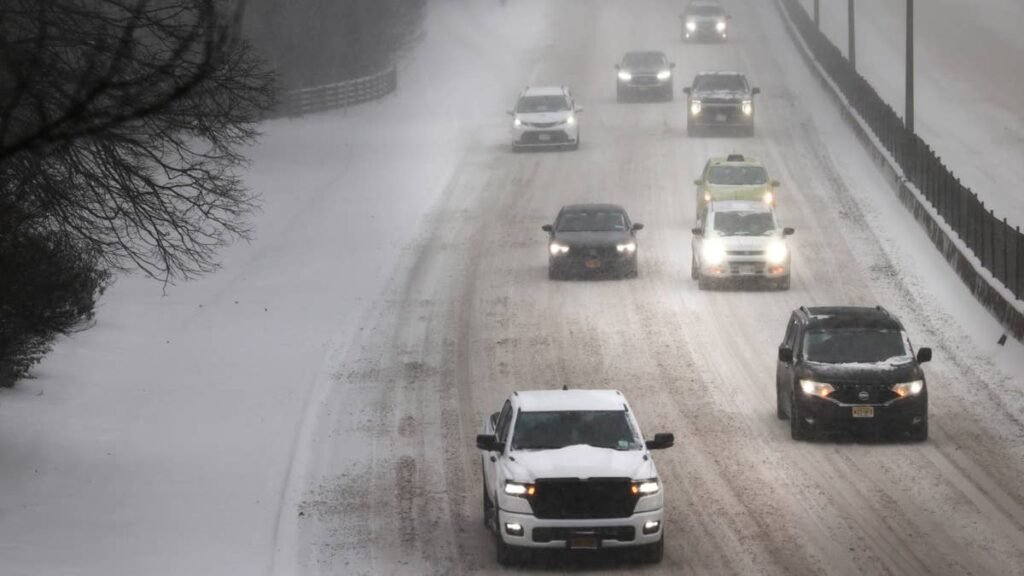
Fresh National Weather Service updates add new ground to the winter storm warning and push snow forecasts higher on several highway passes. Isolated totals now approach 30 inches, and a newly upgraded zone could see gusts up to 50 mph. Some of the warnings are already in effect, while most begin Saturday evening and last into Monday morning.
From Advisory To Warning
At 12:56 p.m. ET Saturday, NWS Great Falls took its advisory for the East Glacier Park region and Northern High Plains and upgraded it to a winter storm warning. The new warning calls for 10 to 20 inches of snow, with the highest amounts in the mountains south of US Highway 2, and gusts as high as 50 mph. It covers Browning, East Glacier Park, St. Mary, Babb and Logan Pass, and it is already in effect through 8 a.m. ET Monday.
New Zone Added To The Warning
In an earlier update at 2:32 a.m. ET Saturday, the same office added the Snowy and Judith Mountains in central Montana to its warning, folding them into the same zone as Kings Hill Pass and Homestake Pass. The area is in line for 6 to 12 inches of heavy, wet snow and gusts up to 45 mph, with the highest totals expected on northern slopes between 4,500 and 6,500 feet. The warning there runs from 8 p.m. ET Saturday to 8 a.m. ET Monday.
Higher Snow Totals
The largest jump is along the Rocky Mountain Front, where NWS Great Falls now expects isolated amounts approaching 30 inches in the Bob Marshall Wilderness. Around Rogers Pass and MacDonald Pass, the forecast holds at 10 to 20 inches, and the Lincoln valley moves up to 7 inches.
Great Falls itself rises to 7 to 14 inches, from 5 to 11 in the overnight forecast, and Bozeman Pass now tops out at 14 inches. NWS Missoula adds 12 to 18 inches for the higher mountain areas around Butte, on top of 3 to 9 inches for the town and Highway 12, and now expects locally 8 to 10 inches in the mountains along its advisory routes.
Advisories across central and southwest Montana, covering Bozeman, Helena, Big Sky and West Yellowstone, now call for stronger gusts than before, as high as 50 mph. Snow totals there are lower, though forecasters say gusty wind on top of heavy, wet snow could bring down tree branches and cause isolated power outages.
Main Routes With New Numbers
New winter storm warning
- Logan Pass, East Glacier Park and Browning: 10 to 20 inches, gusts to 50 mph, in effect now through 8 a.m. ET Monday
Winter storm warnings with higher totals
- Rogers Pass, Flesher Pass and MacDonald Pass: 10 to 20 inches, approaching 30 inches in the Bob Marshall Wilderness, gusts to 45 mph, in effect now through 8 a.m. ET Monday
- Highway 12 from Garrison to Elliston and Butte: 3 to 9 inches, 12 to 18 inches on higher ground, gusts to 45 mph, 8 p.m. ET Saturday to 8 a.m. ET Monday
- Bozeman Pass, Battle Ridge Pass and Deep Creek Pass: 6 to 14 inches, gusts to 40 mph, 8 p.m. ET Saturday to 8 a.m. ET Monday
Winter weather advisories with higher totals or stronger wind
- I-90 from East Missoula to Bearmouth, Lolo Pass and Highways 83, 93 and 200: 2 to 6 inches, locally 8 to 10 inches higher up, gusts to 40 mph, 8 p.m. ET Saturday to 8 a.m. ET Monday
- Chief Joseph, Monida, Targhee and Raynolds passes: 2 to 5 inches lower and 5 to 8 inches higher, locally more, gusts to 50 mph, 8 p.m. ET Saturday to 8 a.m. ET Monday
Timing For Drivers
Two warning zones are already active, along the Rocky Mountain Front and around East Glacier Park. Most of the other alerts begin at 8 p.m. ET Saturday, so Saturday afternoon is the last daylight before the snow starts on those passes. In the Melville area along US-191, NWS Billings expects the storm to affect the Monday morning commute.
Wipers, washer fluid and tire tread are worth a look before setting out, and our winter readiness checklist walks through the rest. Montana’s 511 service carries current road conditions, and NWS asks anyone who must travel to keep an extra flashlight, food and water in the vehicle.
We will keep following the storm and cover any further National Weather Service updates in new stories.