It is the last week of June, and the high country of central Idaho is about to look like January. The mountains above the Salmon River are under a Winter Storm Warning from NWS Missoula, with heavy, wet snow piling onto the Bitterroot and Sapphire ranges and the peaks of Lemhi County.
The heaviest snow falls Sunday into Monday morning, and anyone crossing the high passes overnight should expect winter conditions on roads that were dry in the valleys hours earlier.
How Much Snow and Where
Snow stacks up fast once you climb past about 6,500 feet:
- 4 to 8 inches across most ridgelines and high basins
- Up to 12 inches on the tallest Lemhi peaks
- Little to no accumulation in the valleys, where rain dominates
This is dense, late-season snow that clings to trees and power lines, so isolated branch breakage and brief outages are possible at elevation.
Mountain Roads and Passes
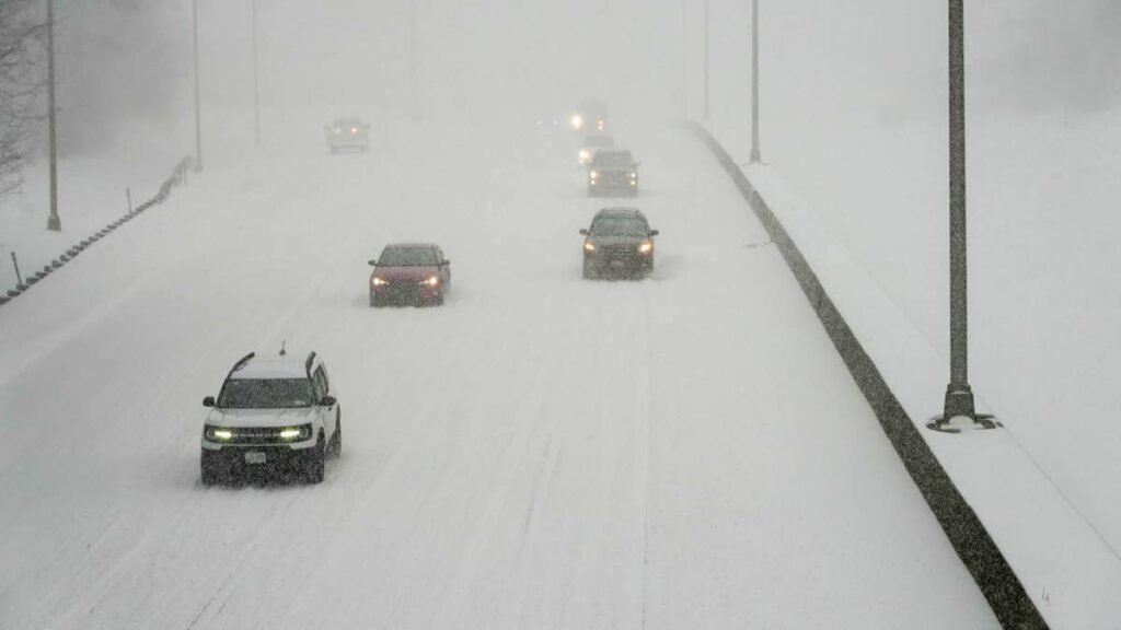
The corridor to watch is Lost Trail Pass on US-93, which tops out well inside the snow zone on the Idaho-Montana line. Expect slush, reduced visibility, and slick stretches near the summit, especially after dark. Chief Joseph Pass on Highway 43 sits at similar elevation and faces the same hazards. Carry traction gear if you are headed over the divide this weekend.
When It Hits
The storm arrives Saturday evening, peaks Sunday, and tapers Monday morning. Plan high-elevation travel and any backcountry trips around that window.