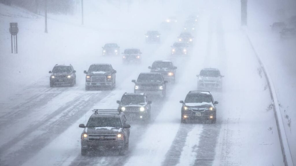
Up to 24 inches of snow could pile up on the highest peaks starting Friday under winter storm watches from the National Weather Service, while gusts over exposed ridges may reach 80 mph. Forecasters expect heavy, wet snow that could damage trees and power lines, and the storm may return in time for the Monday morning drive.
Snow Totals and Timing by Area
Five watches from four offices begin Friday but end at different times, with the longest one running into early Tuesday:
- Northern Sierra and Lassen Volcanic National Park (NWS Sacramento winter storm watch): 1 p.m. ET Friday to 7 p.m. ET Monday, up to 12 inches above 6,000 feet and up to 24 inches at the highest peaks, gusts to 60 mph
- Greater Lake Tahoe Area (NWS Reno winter storm watches): 1 p.m. ET Friday to 1 p.m. ET Saturday, about 12 inches above 7,000 to 7,500 feet and up to 6 inches lower down, gusts of 60 to 80 mph over the ridges
- Mono County (NWS Reno): 4 p.m. ET Friday to 1 p.m. ET Saturday, about 12 inches above 7,000 to 7,500 feet and little or nothing below 6,000 feet, gusts of 40 to 55 mph along Highway 395
- Eastern Sierra Slopes (NWS Las Vegas winter storm watch): 4 p.m. ET Friday to 7 p.m. ET Saturday, 5 to 10 inches above 7,000 feet and up to a foot near the Sierra Crest
- Yosemite, Kings Canyon and Sequoia (NWS Hanford): 7 p.m. ET Friday to 7 a.m. ET Tuesday, 6 to 12 inches above 6,000 feet, gusts to 50 mph
The Sacramento watch covers Interstate 80, Highway 50, State Route 4 and State Route 108, with Carson Pass, Kingvale, Blue Canyon, Twain Harte and Arnold all inside it. Snow levels there start at 7,000 to 8,000 feet on Friday, drop to 6,500 feet Saturday and reach about 5,000 feet by Monday morning. Forecasters expect the heaviest snow Friday night into Saturday morning and a possible break during the day Saturday before more arrives Saturday night.
Around Lake Tahoe, a burst of heavy snow is likely late Friday afternoon into the evening, and gusts of 35 to 45 mph could reach Truckee, South Lake Tahoe, Tahoe City, Incline Village and Stateline. Mammoth Lakes, Lee Vining and Bridgeport fall under the Mono County watch, while Aspendell and Whitney Portal sit in the Eastern Sierra Slopes zone. Farther south, Tuolumne Meadows, Wawona, Shaver Lake, Huntington Lake and Lodgepole are among the places listed.
Driving in Heavy Wet Snow
The Reno office calls it Sierra cement. Under traffic it quickly turns into slush and ruts and collects on windshields and around wheel wells. It can also make steering and braking less predictable.
The Sacramento and Reno offices both warn that the snow and wind could bring down tree branches, and Sacramento adds the risk of localized power outages. A downed line on the road should be treated as live and given a wide berth.
Crosswinds on US-395 and Exposed Roads
Gusts of 40 to 55 mph along Highway 395 in Mono County are strong enough to push vans, pickups with campers, box trucks and anything towing a trailer out of their lane. The Las Vegas office notes that bridges and overpasses are likely to turn slick first.
What to Carry
The Las Vegas office recommends delaying travel if possible, and anyone who has to go should pack tire chains, booster cables, a flashlight, a shovel, blankets, extra clothing, water and a first aid kit. Caltrans posts current road conditions and chain controls on QuickMap, and drivers can also dial 511.